The Platform
Hardware & Software.
A single integrated platform from field capture to finished GIS data. Built for Australian conditions, compliant with Australian standards.
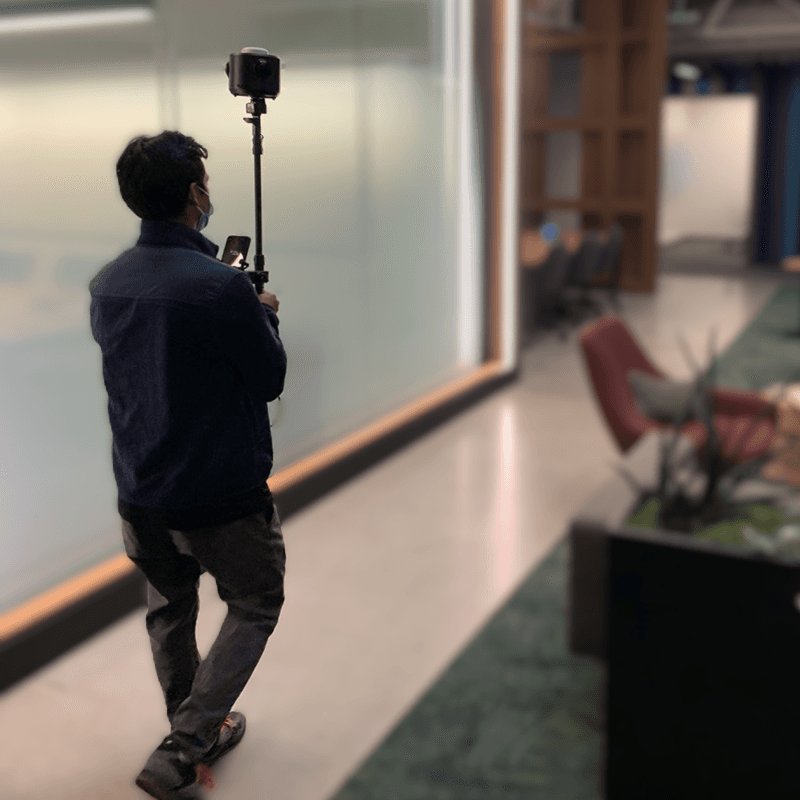
GeoCam 360
A single device for aerial, streets and indoors. Deploy under UAS, on vehicles, mounted on backpacks, and lower it down in manholes.
- Integrated GNSS for High Accuracy Positioning
- Global Shutter 36 MP 360° Imagery
- Integrated Solid State Storage
- Onboard NVIDIA GPU for ML Privacy Filters
- External TSA Approved Battery
- Operate @ 120 km/h on Highways + 5 FPS Indoors
2.1.1 Core Technology
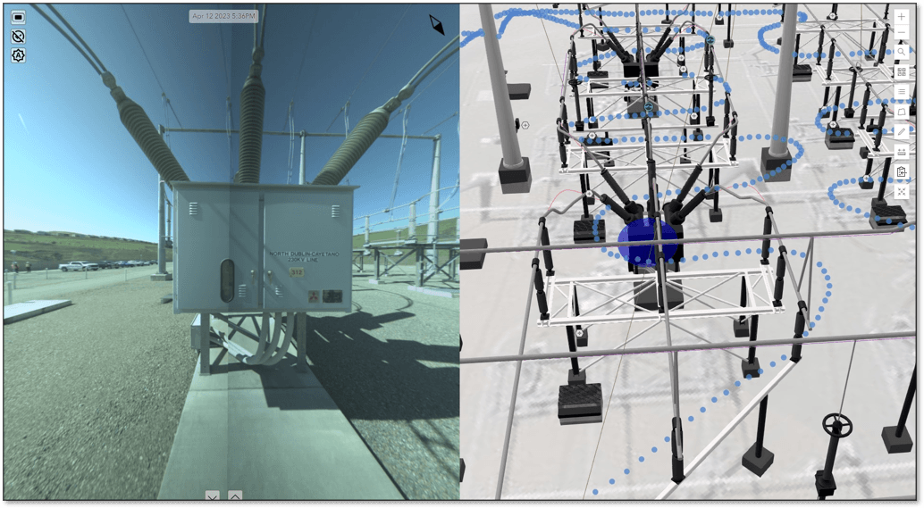
GeoCam Visual Positioning System
Our innovative VPS is designed with advanced AI capabilities to deliver high-accuracy map data across aerial, urban, suburban, rural, indoor, or complex construction as-built scenarios.
.png&w=3840&q=75&dpl=dpl_3Ktz2dcvLkvm5CMU1Gzztks3SvaH)
Software Suite
GeoCam Applications
Leverage our suite of apps to efficiently manage projects, create map data, and enable collaboration across your organisation.
.png&w=3840&q=75&dpl=dpl_3Ktz2dcvLkvm5CMU1Gzztks3SvaH)
Manager
Create and Manage Reality Capture Projects
Organisational setup, project management, data management, processing capabilities, and workflow configuration, all in one cloud dashboard.
.png&w=3840&q=75&dpl=dpl_3Ktz2dcvLkvm5CMU1Gzztks3SvaH)
Editor
Effortless Map Data Creation, Single Click in Images
Web streaming, direct ArcGIS Feature Service integration, rapid data creation, accuracy refinement, and smart symbol selection.
.png&w=3840&q=75&dpl=dpl_3Ktz2dcvLkvm5CMU1Gzztks3SvaH)
QAQC
Efficient Quality Assurance for Map Data
Rapid review, enhanced efficiency, accuracy checks, and quick correction tools. Automated validation against Australian standards.
Viewer
Simplify Your Imagery and GIS Data Interaction
Precise navigation, feature search, Lock View tool, and collaboration features. Share immersive 360° views with clients and stakeholders.
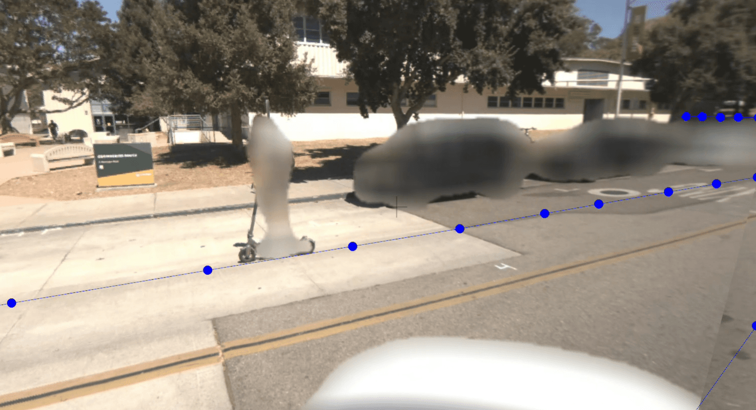
PII
Protect Privacy with Machine Learning
Automatically blur vehicles and people across all captured imagery. Comprehensive coverage, flexible deployment, and customisable solutions.
Ready to see it in action?
Contact us to arrange a demo or discuss your Australian deployment.
Request a Demo